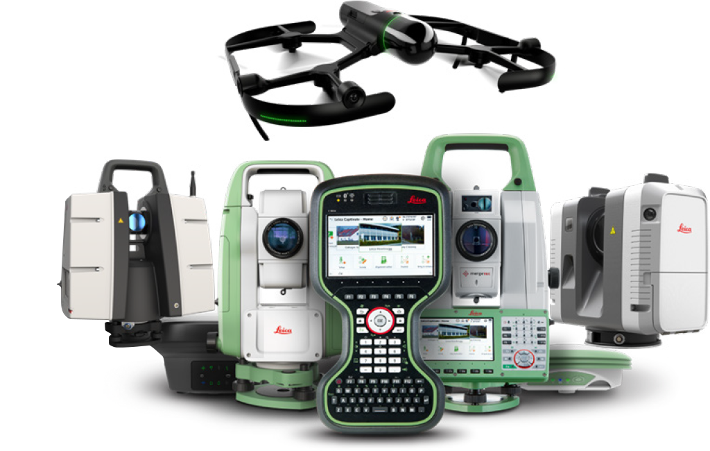
100+ YEARS OF COMBINED EXPERIENCE IN SURVEYING AND CONSTRUCTION
With more than 100 years of combined experience in the survey and construction industry, the G4GR team can provide comprehensive solutions for surveying, building, construction, and public safety and law enforcement professionals. Collectively, our leadership team of Rodney Walsh, John Clark, Donnie Steele, and Jeff Ryall have spent more than a century serving as equipment representatives, managers, and surveyors in the field.
WHAT WE DO
We have earned customer trust by providing the highest level of sales, support, technology, repairs, maintenance, and training for surveying, HDS/RC/UAS, building, construction, and public safety and law enforcement equipment and supplies for Texas and Oklahoma, with free delivery included.


